Costa Rica in 7 Days: Arenal, Monteverde, Manuel Antonio
A 7-day loop from San José airport: Arenal, Monteverde, Manuel Antonio. 583 km, drive times for each leg, car or shuttle, and where a 4x4 matters.
Seven days is enough for three bases, not for four: La Fortuna for the Arenal volcano, Monteverde for the cloud forest, and Manuel Antonio for the beach and the national park, with two nights in each and the airport on both ends. The loop is 583 km by road. The driving is shorter than it sounds on a map and longer than a router tells you, and that gap is the thing to plan around. Flying into Liberia instead, or with more than a week? Our 10 to 14 day loop from LIR swaps Manuel Antonio for the Guanacaste coast.
The seven days at a glance
| Day | Leg | Km | Drive time (OSRM) | Shuttle (Interbus) |
|---|---|---|---|---|
| 1 | SJO to La Fortuna | 124 | 2 h 32 min | see below |
| 2 | Arenal area, no driving | 0 | - | - |
| 3 | La Fortuna to Monteverde | 111 | 2 h 35 min | 4 h |
| 4 | Monteverde, no driving | 0 | - | - |
| 5 | Monteverde to Manuel Antonio via Tárcoles | 190 | 4 h 9 min | 4 h |
| 6 | Manuel Antonio, no driving | 0 | - | - |
| 7 | Manuel Antonio to SJO | 157 | 3 h 12 min | 4 h 30 min |
Distances and drive times come from the public OSRM router, run on November 16, 2026. Read the times as the fastest case: OSRM knows the road network but not traffic, roadworks, the state of gravel or a fuel stop, and it doesn’t know that the road to Monteverde slows to a crawl behind a truck. Treat every leg as longer than the table says, and day 5 most of all. The shuttle column is Interbus’s own scheduled travel time from its route table, checked the same day, and it includes stops to collect other passengers. On day 5 the two come out almost level, so plan on four hours or more either way, plus the half-hour stop at Tárcoles.
Days 1 and 2: La Fortuna and the Arenal area
The drive from the airport to La Fortuna is 124 km and mostly paved. Plan to leave SJO by lunchtime, so the hill sections are behind you before dark. Rental pickups at the airport can also eat the first hour, so see our car rental guide before you arrive for what the desk will charge and what it will ask for.
Day 2 is the volcano. Walk the park’s trails in the morning and keep the hot springs for the evening, with a rain jacket in the bag whatever the month. The Arenal and northern lowlands guide has prices and opening hours for the park and the waterfall, and the La Fortuna Waterfall page has the stairs and the ride from town.
Day 3: over to Monteverde, the slow day
La Fortuna to Monteverde is 111 km. It’s the shortest leg and the slowest per kilometer, because the route runs around the Arenal lake and finishes on a rural road into the cloud forest. This is the leg where the 4x4 question gets real, and the car rental guide sets out what the rental companies say. Before you book the car, ask your Monteverde lodge in writing whether a regular car makes it to the door, and take a higher-clearance SUV if the lodge is up a gravel track. The Monteverde guide has the town, the reserves and where to stay.
There is a way around the question: the jeep-boat-jeep transfer across Lake Arenal. Interbus’s own guide describes a taxi-boat option of about three hours for around $45, followed by a shuttle for the rest. It means leaving a rental car behind or arranging a one-way drop, so it fits the shuttle version of this loop better than the car version.
Day 4: Monteverde
A full day in the cloud forest is a walking day. Pick one reserve, not two, and go at opening time: the Monteverde Cloud Forest Preserve sells timed slots online, so book yours when you book the lodge. Keep the afternoon for the hanging bridges or a canopy tour, and the evening of day 3 for a night walk.
Day 5: down to the coast through Tárcoles
The longest driving day is 190 km, and OSRM puts it at 4 hours 9 minutes. From Monteverde the route drops to the Pan-American Highway, takes Route 23 and Route 27, and then follows the Pacific coastal highway, Route 34, past the Río Tárcoles. This is where Route 27’s tolls start (they return on day 7), paid in colones, and the car rental guide has the toll and gas figures.
Stop at the bridge over the Tárcoles River: American crocodiles live in the river, and the road bridge is the usual place to look for them. Keep it to half an hour and don’t leave anything visible in the car: Canada’s travel advice says rental cars are a target of choice for break-ins. Then it’s another 98 km to Manuel Antonio.
Day 6: Manuel Antonio
Day 6 is the national park, and one date check comes first: the park is closed on Tuesdays, so if day 6 lands on one, start the loop a day earlier or later. Tickets are sold online only, and the Manuel Antonio National Park page has prices, rules and trails. Be at the gate at 7 am, when it opens, and leave the beach for the end of the day.
Day 7: back to SJO
Manuel Antonio to the airport is 157 km, 3 hours 12 minutes by OSRM and 4 hours 30 minutes on the Interbus schedule to San José. For a flight home, plan to leave the coast early in the morning and book the flight for the afternoon or evening. Traffic on Route 27 into San José is something no router will tell you in advance, so a morning flight home is a bad fit for this loop. Ask your rental company about its return hours before you book the flight.
Car or shuttle?
By car, the loop gives you the freedom to stop at the Tárcoles bridge, at viewpoints and at roadside fruit stands, and the cost per person falls with each passenger. The price is the insurance and deposit rules and the driving on days 3 and 5.
By shuttle, you give up stops and pay per seat. Interbus’s route table, read on November 16, 2026, lists La Fortuna to Monteverde at 8 am (4 hours), Monteverde to Manuel Antonio at 8 am (4 hours), and Manuel Antonio to San José at 8 am and 12:30 pm (4 hours 30 minutes). The table doesn’t list a San José to La Fortuna row, so confirm that first leg at booking. Public buses cover every leg of this loop for a fraction of the fare, and our transport guide compares the bus, the shuttle and the domestic flight leg by leg.
What to budget
The budget on this route covers getting around, not the whole trip. Interbus’s shared-shuttle loops start at $185 per person, but none covers all three of these bases, so the shuttle price of this loop isn’t listed: get it leg by leg at booking. By car, Vamos’s mandatory liability policy alone is $15.95 a day for a sedan. Vamos bills in 24-hour blocks with a 2-hour grace period, so a car collected on arrival on day 1 and returned on day 7 runs six rental days, $95.70, or seven, $111.65, if you return it more than two hours past the time of day you collected it. Both are before the rental rate, gas, tolls and any collision cover. Lodging, park tickets and food come on top, and they depend on season more than on the route.
When to go
Each October the IMN, the national weather service, forecasts the start of the dry season by region: for 2026 it put the Pacific Central region at November 13 to 30 and the Central Valley at November 8 to 23, with no set date for the Arenal side. By the tourism board’s calendar the dry season runs from mid-December to late April, and it’s the busiest: Vamos advises booking 4x4s three to four months ahead for December to April, so book the car early if you’re coming for the Christmas weeks.
The route day by day
- Days
- 7
- Distance
- ≈583 km
- Best season
- December, January, February, March, April
The route at a glance
-
San José airport (SJO)
Start of the routestop ≈60 min
Start. Pick up the car or meet your transfer at arrivals.

Photo: kitmasterbloke / Wikimedia Commons, CC BY 4.0 ( source) -
La Fortuna and the Arenal volcano
124 km from the startTwo nights: one evening for the town, one full day for the volcano area.
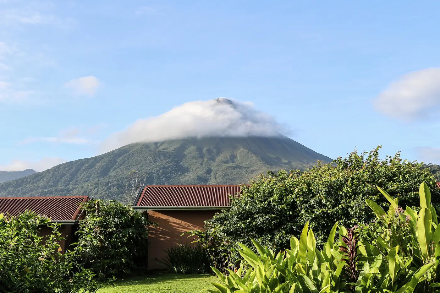
Photo: “Arenal Volcano 01”, Bernard Gagnon / Wikimedia Commons, CC0 ( source) -
Monteverde (Santa Elena)
236 km from the startTwo nights in the cloud forest. The last stretch of road is the slow part.
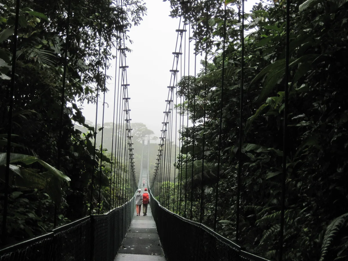
Photo: “Monteverde hanging bridges”, Unidancom / Wikimedia Commons, CC0 ( source) -
Tárcoles river bridge
327 km from the startstop ≈30 min
A half-hour stop on the way down, on the coastal highway.

Photo: “Toothy Indulgence”, Los Paseos from Earth / Wikimedia Commons, CC BY-SA 2.0 ( source) -
Manuel Antonio
426 km from the startTwo nights near the national park, which is closed on Tuesdays.
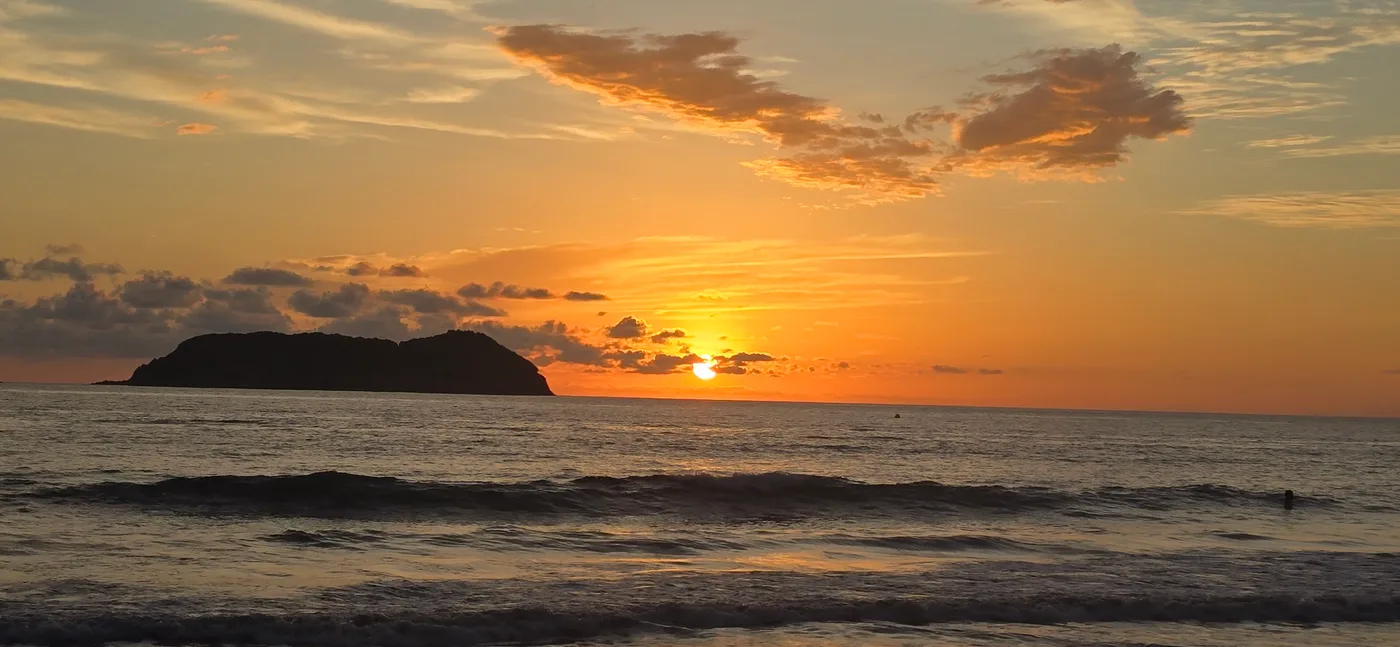
Photo: “Manuel Antonio beach, Costa Rica - 55079587209”, Steve Knight / Wikimedia Commons, CC BY 4.0 ( source) -
San José airport (SJO), flight home
583 km from the startEnd. Back on Route 27 to the airport.
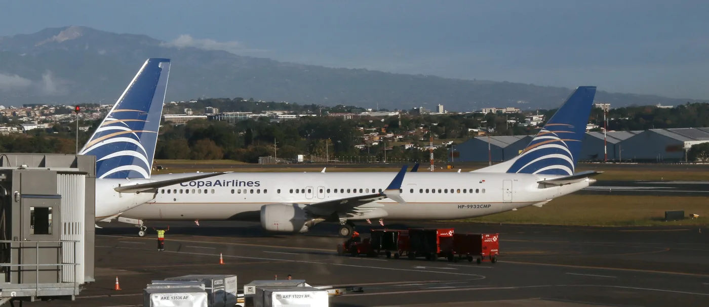
Photo: “HP-9932CMP - Boeing 737 MAX 9 - Copa Airlines SJO 220126”, kitmasterbloke / Wikimedia Commons, CC BY 4.0 ( source)
Route map
The map with the stops loads on click, to keep the page light.
The map didn’t load. Check your connection and refresh the page.